How to Implement Cycling Infrastructure webinar series
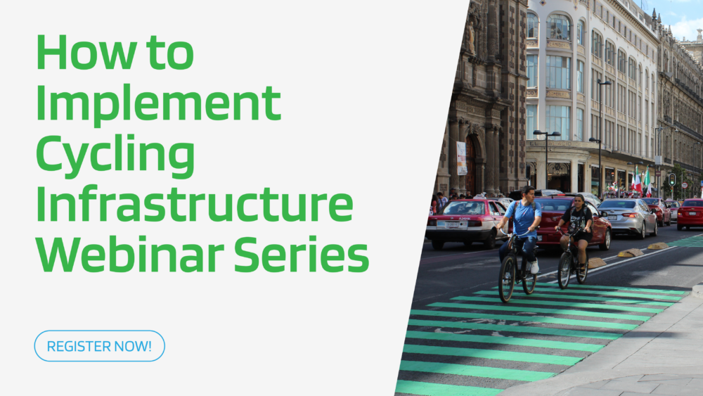
In September 2026, GDCI will launch a series of open and global webinar sessions on How to Implement Cycling Infrastructure—our latest practice-oriented publication. The series will explore key concepts from the handbook, share practical tips, and feature real-world examples that demonstrate how cities are working to increase cycling through infrastructure design.
Transforming streets near schools is a strategic starting point for cities looking to make their city safer, healthier, and more welcoming for children and their communities.
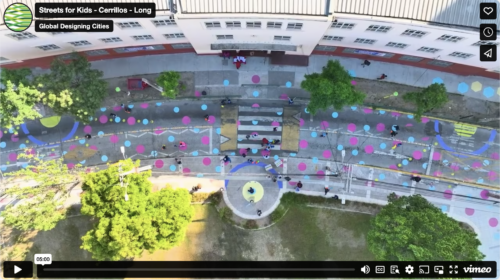
Buzeta ‘Caminable’ – Opening Streets for Play and Physical Activity in Cerrillos, Chile
Ciudad Emergente partnered with the Municipality of Cerrillos and the Mayor University to do a pop-up transformation of 7th Avenue into a pedestrian-friendly space, connecting an elementary school serving 350 children with a nearby park, and creating a safer and more playful space.
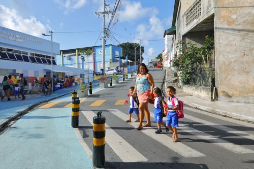
The Municipality of León, Mexico, partnered with the Governmental Family Services Agency (DIF) and the non-profit Colectivo Tomate to pilot an interim street transformation creating a safe, accessible, and playful path to key destinations serving nearly 1,000 children daily.
Surakarta Child-friendly and Inclusive City (SUKARIA)
In Solo, Indonesia, the non-profit Kota Kita partnered with the Surakarta City Department of Transportation to redesign two streets near a high school, benefiting more than 500 students and residents. More than 400 kids, caregivers, and community members participated. The interim transformation created a safer, more attractive, and more inclusive environment for children by reclaiming public space for pedestrians and introducing traffic-calming elements and street art.
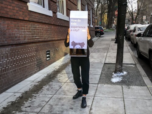
How Do Kids Experience Streets? A Reverse Periscope Companion Guide
The Streets for Kids Reverse Periscope is a do-it-yourself tool that encourages planners, city officials, and others to experience the obstacles and attractions of city streets from a child’s perspective.
As part of a collaboration between Agenzia Mobilità Ambiente Territorio (AMAT), Bloomberg Associates and the Global Designing Cities Initiative, the City of Milan has developed an innovative public space program named Piazze Aperte or “Open squares.”
Live Launch Event: How to Implement and Evaluate Street Transformations
These handbooks distill GDCI’s experience implementing and evaluating street transformation projects in cities around the world, and are an important step in changing the decades-long embedded practice of implementing and evaluating street transformations from a car-centric point of view.
Cómo Evaluar la Transformación de Calles: Modelos de Recompilacipon de Datos – Español
GDCI's Cómo Evaluar la Transformación de Calles guía contiene listas de control, formularios y tableros básicos y listos para imprimir para la recompilacipon de datos y que promueven la participación comunitaria. Descargar en PDF o en Excel.
Como Avaliar Transformações de Ruas: Modelos de Coleta de Dados – Português
GDCI's Como Avaliar Transformações de Ruas guia contém checklists, formulários e painéis de engajamento comunitário básicos e prontos para imprimir, para apoiar a sua coleta de dados. Baixar PDF ou Excel.