-
About Streets
- Introduction
- Defining Streets
-
Shaping Streets
- The Process of Shaping Streets
- Aligning with City and Regional Agendas
- Involving the Right Stakeholders
- Setting a Project Vision
- Communication and Engagement
- Costs and Budgets
- Phasing and Interim Strategies
- Coordination and Project Management
- Implementation and Materials
- Management
- Maintenance
- Institutionalizing Change
- Measuring and Evaluating Streets
-
Street Design Guidance
- Designing Streets for Great Cities
- Designing Streets for Place
-
Designing Streets for People
- Utilities and Infrastructure
- Operational and Management Strategies
- Design Controls
-
Street Transformations
- Streets
-
Intersections
- Intersection Design Strategies
- Intersection Analysis
- Intersection Redesign
- Mini Roundabout
- Small Raised Intersection
- Neighborhood Gateway Intersection
- Intersection of Two-Way and One-Way Streets
- Major Intersection: Reclaiming the Corners
- Major Intersection: Squaring the Circle
- Major Intersection: Cycle Protection
- Complex Intersection: Adding Public Plazas
- Complex Intersection: Improving Traffic Circles
- Complex Intersection: Increasing Permeability
- Resources
Global Street Design Guide
-
About Streets
- Introduction
- Defining Streets
-
Shaping Streets
Back Shaping Streets
- The Process of Shaping Streets
- Aligning with City and Regional Agendas
- Involving the Right Stakeholders
- Setting a Project Vision
- Communication and Engagement
- Costs and Budgets
- Phasing and Interim Strategies
- Coordination and Project Management
- Implementation and Materials
- Management
- Maintenance
- Institutionalizing Change
-
Measuring and Evaluating Streets
Back Measuring and Evaluating Streets
-
Street Design Guidance
-
Designing Streets for Great Cities
Back Designing Streets for Great Cities
-
Designing Streets for Place
Back Designing Streets for Place
-
Designing Streets for People
Back Designing Streets for People
- Comparing Street Users
- A Variety of Street Users
-
Designing for Pedestrians
Back Designing for Pedestrians
- Designing for Cyclists
-
Designing for Transit Riders
Back Designing for Transit Riders
- Overview
- Transit Networks
- Transit Toolbox
-
Transit Facilities
Back Transit Facilities
-
Transit Stops
Back Transit Stops
-
Additional Guidance
Back Additional Guidance
-
Designing for Motorists
Back Designing for Motorists
-
Designing for Freight and Service Operators
Back Designing for Freight and Service Operators
-
Designing for People Doing Business
Back Designing for People Doing Business
-
Utilities and Infrastructure
Back Utilities and Infrastructure
- Utilities
-
Green Infrastructure and Stormwater Management
Back Green Infrastructure and Stormwater Management
-
Lighting and Technology
Back Lighting and Technology
-
Operational and Management Strategies
Back Operational and Management Strategies
- Design Controls
-
Street Transformations
-
Streets
Back Streets
- Street Design Strategies
- Street Typologies
-
Pedestrian-Priority Spaces
Back Pedestrian-Priority Spaces
-
Pedestrian-Only Streets
Back Pedestrian-Only Streets
-
Laneways and Alleys
Back Laneways and Alleys
- Parklets
-
Pedestrian Plazas
Back Pedestrian Plazas
-
Pedestrian-Only Streets
-
Shared Streets
Back Shared Streets
-
Commercial Shared Streets
Back Commercial Shared Streets
-
Residential Shared Streets
Back Residential Shared Streets
-
Commercial Shared Streets
-
Neighborhood Streets
Back Neighborhood Streets
-
Residential Streets
Back Residential Streets
-
Neighborhood Main Streets
Back Neighborhood Main Streets
-
Residential Streets
-
Avenues and Boulevards
Back Avenues and Boulevards
-
Central One-Way Streets
Back Central One-Way Streets
-
Central Two-Way Streets
Back Central Two-Way Streets
- Transit Streets
-
Large Streets with Transit
Back Large Streets with Transit
- Grand Streets
-
Central One-Way Streets
-
Special Conditions
Back Special Conditions
-
Elevated Structure Improvement
Back Elevated Structure Improvement
-
Elevated Structure Removal
Back Elevated Structure Removal
-
Streets to Streams
Back Streets to Streams
-
Temporary Street Closures
Back Temporary Street Closures
-
Post-Industrial Revitalization
Back Post-Industrial Revitalization
-
Waterfront and Parkside Streets
Back Waterfront and Parkside Streets
-
Historic Streets
Back Historic Streets
-
Elevated Structure Improvement
-
Streets in Informal Areas
Back Streets in Informal Areas
-
Intersections
Back Intersections
- Intersection Design Strategies
- Intersection Analysis
- Intersection Redesign
- Mini Roundabout
- Small Raised Intersection
- Neighborhood Gateway Intersection
- Intersection of Two-Way and One-Way Streets
- Major Intersection: Reclaiming the Corners
- Major Intersection: Squaring the Circle
- Major Intersection: Cycle Protection
- Complex Intersection: Adding Public Plazas
- Complex Intersection: Improving Traffic Circles
- Complex Intersection: Increasing Permeability
- Resources
- Guides & Publications
- Global Street Design Guide
- Designing Streets for Place
- Immediate Context
Immediate Context
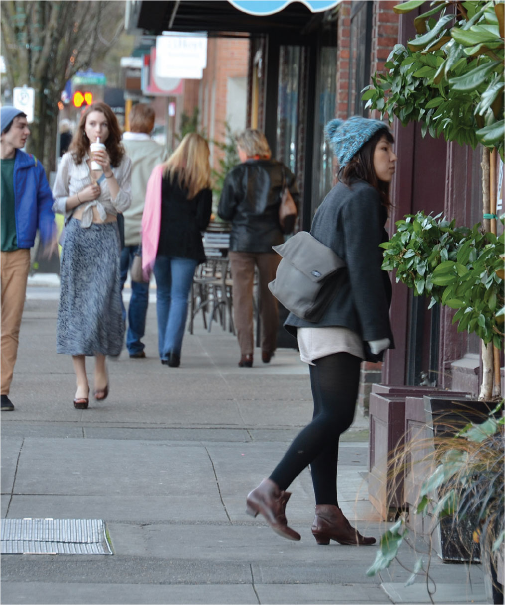

Street Activity
Document the types of activities occurring on the street, noting specific locations. Measure the site at different times of the day, week, and year noting how long people spend there and whether they are sitting, playing, shopping, or partaking in other activities. Note areas where these activities block clear paths.
Strategically locate dedicated space and facilities within the street to entice a variety of activities while keeping the space safe, healthy, vibrant, and accessible.

Street Furniture
Locate and count street furniture such as seating, lighting fixtures, bus shelters, wayfinding signage, cycle racks, and cycle share facilities.
Carefully plan street furniture design and locations to meet the desirable street activity patterns and needs. Ensure the placement of street furniture maintains clear paths along sidewalks for unobstructed and accessible movement, and clear paths on roadbeds for emergency vehicles and city services.

Human Scale
Observe and note building edges, street furniture, and overall street scale in reference to the human scale and human usage.
Design the street to respond to the human scale. Promote and incentivize human-scale building edges. Align street lighting, wayfinding, and signage to human eye level, and design street furniture to accommodate universal accessibility.

Right-of-Way
To identify what changes are possible, first measure the street widths and note dimensions of areas dedicated to different users. Measure at multiple locations when widths are inconsistent.
Change street geometry to appropriately distribute the limited space among different users. Prioritize space for pedestrians, cyclists, and collective transport. Include space for green infrastructure and other non-mobility activities and functions wherever possible.

Mobility Mode Share
Measure the existing mode share along the street to understand how it is used. Note how user counts vary at different times of the day, week, or year, or according to the specific operational strategies in use.
Design the street to promote safe, accessible, efficient, and comfortable walking, cycling, and collective transport over private car use. Accommodate easy transfers from one travel mode to another.

Utilities and Infrastructure
Document location and type of lighting and other utilities that impact street design. Identify obstacles to safe pedestrian movement, and note if obstructions are fixed or movable.
Locate areas with insufficient lighting, and identify areas prone to flooding or standing water.
Design streets to improve energy efficiency, water management, and air quality. Provide safe and quality lighting to support a sense of place.

Building Edges and Uses
Observe and document the building edges and any setback areas. Note different use types on the ground floor, and assess how those support or hinder street activity.
Design streets to support the uses in the adjacent buildings. Provide clear paths, space for street furniture, and designate areas for ground floor uses to extend into the street at strategic locations.

Transparency
Measure transparency levels of the ground floors of buildings. Note long stretches of blank facades, fences, or building setbacks, and the overall sense of safety and surveillance.
Design streets to support the visual extension of ground floor uses into the public realm, adding life and interest to the street. Provide landscaping, artwork, and other engaging elements to reduce the negative impact of blank facades or inactive building setbacks.

Entrances
Document the location and frequency of entrances to the adjacent buildings, noting their uses. Identify locations with heavy pedestrian volumes at various times of the day.
Increase pedestrian spaces and add supporting street furniture near, but not in the way of, busy entrances. Promote frequent and active entrances and ensure clear paths appropriate for accommodating pedestrian volumes.

Green Infrastructure
Locate existing trees and planted areas. Take note of the local climate, planting seasons, and species. Identify the water table, sub-surface conditions, and utilities.
Include trees and planted areas in street design to improve air quality, provide shade, improve water management systems, support local ecosystems, and create living streets. Use native species to plant streets and improve the microclimate.

Local Climate
Consider local climates, average temperatures, and frequency of extreme weather events.
Include protection from extreme heat, heavy rains, snow, or strong winds. Provide shade to minimize urban heat island effect and improve pedestrian comfort in warmer climates. Design for solar exposure and snow removal in colder climates. Prepare street infrastructure and materials to adapt to seismic and geologic changes, and other natural disasters.

Curbside Management
Document the number of dedicated and illegal on-street parking spaces, noting cost per hour and any use restrictions. Identify loading spaces and truck routes, as well as any current management strategies.
Develop curbside management strategies that include purpose-based zones, time limits for parking and deliveries, and pricing strategies. Remove on-street parking spaces for other uses when competing needs and priorities are identified.
Adapted by Global Street Design Guide published by Island Press.
Next Section —